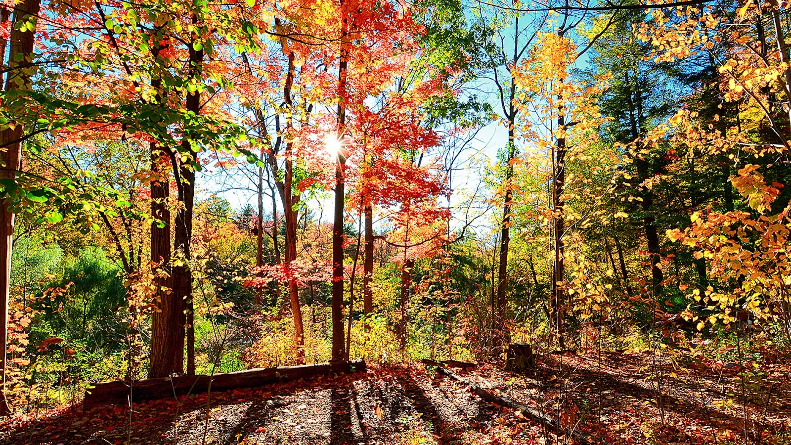
North York’s fall colour, park by park.
Every park mapped and ranked. The ones our editor has walked are marked as walked; the rest carry a satellite estimate, clearly labelled.
As of Saturday, October 24, 2026: three parks are at peak (deep orange) with most leaves still on the branch — Edwards Gardens, Sunnybrook Park and Wilket Creek Park. Our editor walked all three on Oct 24.
The other 13 parks are satellite estimates from Sentinel-2 (Oct 22), calibrated against the parks our editor walked — they put Betty Sutherland Trail Park, Charles Sauriol Conservation Reserve, East Don Parkland, Kortright Centre for Conservation, Rouge National Urban Park, Taylor Creek Park, Boyd Conservation Park, Earl Bales Park and German Mills Settlers Park at peak and Crothers Woods and G. Ross Lord Park near peak. Estimates are marked with a ring on the map and a “~” on every number.
Go this weekend if you can: leaf fall is the clock, and a windy or rainy day can strip a canopy quickly.
The newest reading on this page is more than 7 days old.
Colour can change fast. Treat the statuses below as history until we walk the parks again.
Status Map
Tap a pin for the park’s reading. Solid pins are parks our editor walked; ringed pins are estimates from satellite or social photos.
- Peak
- Near peak
- Turning
- Early
- Past peak
- Bare
- Solid: walked by our editor
- Ring: satellite or social-photo estimate
Go Now: Parks Ranked
Peak first. Ties go to walked parks, then social photos, then satellite estimates, then to the park with fewer leaves down.
-
Edwards Gardens
Deep orange · Most leaves still on the branch
Satellite estimate: peak, ~80% colour, ~10% leaf fall (high confidence)
Shares a site with the Toronto Botanical Garden, so the two are one entry.
-
Sunnybrook Park
Deep orange · Most leaves still on the branch
Satellite estimate: peak, ~90% colour, ~10% leaf fall (high confidence)
-
Wilket Creek Park
Deep orange · Most leaves still on the branch
Satellite estimate: peak, ~100% colour, ~20% leaf fall (high confidence)
-
Betty Sutherland Trail Park
Orange · Most leaves still on the branch (estimate)
~80% colour · ~20% leaf fall
-
Charles Sauriol Conservation Reserve
Orange · Most leaves still on the branch (estimate)
~100% colour · ~20% leaf fall
-
East Don Parkland
Orange · Most leaves still on the branch (estimate)
~90% colour · ~20% leaf fall
-
Kortright Centre for Conservation
Orange · Most leaves still on the branch (estimate)
~90% colour · ~20% leaf fall
Woodbridge; run by TRCA.
-
Rouge National Urban Park
Orange · Most leaves still on the branch (estimate)
~90% colour · ~10% leaf fall
Pin marks the Markham 14th Avenue address; the park spans several trailheads.
-
Taylor Creek Park
Orange · Most leaves still on the branch (estimate)
~70% colour · ~10% leaf fall
East York, along the Don Valley south of North York.
-
Boyd Conservation Park
Orange · Some leaves down (estimate)
~100% colour · ~30% leaf fall
Vaughan; run by TRCA.
-
Earl Bales Park
Orange · Some leaves down (estimate)
~90% colour · ~30% leaf fall
-
German Mills Settlers Park
Orange · Some leaves down (estimate)
~90% colour · ~30% leaf fall
Just north of the North York boundary, in Thornhill.
-
Crothers Woods
Orange · Most leaves still on the branch (estimate)
~60% colour · ~10% leaf fall
East York, in the lower Don Valley.
-
G. Ross Lord Park
Orange · Most leaves still on the branch (estimate)
~60% colour · ~10% leaf fall
-
Downsview Park
Orange · Most leaves still on the branch (estimate)
~50% colour · ~10% leaf fall
-
High Park
Yellow/Orange · Most leaves still on the branch (estimate)
~10% colour · ~0% leaf fall
Park-by-Park Comparison
| Park | Area | Status | Colour | Leaf fall | Satellite check | Source and date |
|---|---|---|---|---|---|---|
| Edwards Gardens | North York | Peak | Deep orange | Most leaves still on the branch | Peak, ~80% colour · ~10% leaf fall high confidence |
Walked Oct 24 by our editor |
| Sunnybrook Park | North York | Peak | Deep orange | Most leaves still on the branch | Peak, ~90% colour · ~10% leaf fall high confidence |
Walked Oct 24 by our editor |
| Wilket Creek Park | North York | Peak | Deep orange | Most leaves still on the branch | Peak, ~100% colour · ~20% leaf fall high confidence |
Walked Oct 24 by our editor |
| Betty Sutherland Trail Park | North York | Peak (estimate) | Orange | Most leaves still on the branch | Peak, ~80% colour · ~20% leaf fall high confidence |
Satellite estimate, Sentinel-2 Oct 22 |
| Charles Sauriol Conservation Reserve | North York | Peak (estimate) | Orange | Most leaves still on the branch | Peak, ~100% colour · ~20% leaf fall high confidence |
Satellite estimate, Sentinel-2 Oct 22 |
| East Don Parkland | North York | Peak (estimate) | Orange | Most leaves still on the branch | Peak, ~90% colour · ~20% leaf fall high confidence |
Satellite estimate, Sentinel-2 Oct 22 |
| Kortright Centre for Conservation | Just outside North York | Peak (estimate) | Orange | Most leaves still on the branch | Peak, ~90% colour · ~20% leaf fall high confidence |
Satellite estimate, Sentinel-2 Oct 22 |
| Rouge National Urban Park | Just outside North York | Peak (estimate) | Orange | Most leaves still on the branch | Peak, ~90% colour · ~10% leaf fall high confidence |
Satellite estimate, Sentinel-2 Oct 22 |
| Taylor Creek Park | Just outside North York | Peak (estimate) | Orange | Most leaves still on the branch | Peak, ~70% colour · ~10% leaf fall high confidence |
Satellite estimate, Sentinel-2 Oct 22 |
| Boyd Conservation Park | Just outside North York | Peak (estimate) | Orange | Some leaves down | Peak, ~100% colour · ~30% leaf fall high confidence |
Satellite estimate, Sentinel-2 Oct 22 |
| Earl Bales Park | North York | Peak (estimate) | Orange | Some leaves down | Peak, ~90% colour · ~30% leaf fall high confidence |
Satellite estimate, Sentinel-2 Oct 22 |
| German Mills Settlers Park | Just outside North York | Peak (estimate) | Orange | Some leaves down | Peak, ~90% colour · ~30% leaf fall high confidence |
Satellite estimate, Sentinel-2 Oct 22 |
| Crothers Woods | Just outside North York | Near peak (estimate) | Orange | Most leaves still on the branch | Near peak, ~60% colour · ~10% leaf fall high confidence |
Satellite estimate, Sentinel-2 Oct 22 |
| G. Ross Lord Park | North York | Near peak (estimate) | Orange | Most leaves still on the branch | Near peak, ~60% colour · ~10% leaf fall high confidence |
Satellite estimate, Sentinel-2 Oct 22 |
| Downsview Park | North York | Turning (estimate) | Orange | Most leaves still on the branch | Turning, ~50% colour · ~10% leaf fall high confidence |
Satellite estimate, Sentinel-2 Oct 22 |
| High Park | Just outside North York | Early (estimate) | Yellow/Orange | Most leaves still on the branch | Early, ~10% colour · ~0% leaf fall high confidence |
Satellite estimate, Sentinel-2 Oct 22 |
How We Score It
Every park shows one headline reading from the best source available, in this order: (1) walked by the North York Guide editor, (2) social photos when at least 3 recent public photos agree on a status, and (3) a satellite estimate. A walked reading always overrides the other two. Estimates carry a “~” and the word “estimate” everywhere they appear, and the popup and table show the satellite reading even for walked parks so you can see how the two compare.
Status scale
- Early
- Mostly green. A few branches have started to turn.
- Turning
- Colour is spreading through the canopy, but green still dominates.
- Near peak
- Most trees are showing colour. A few days from the best of it.
- Peak
- The canopy is at its most saturated, with most leaves still up.
- Past peak
- Colour is fading and leaf fall is heavy.
- Bare
- Most leaves are on the ground.
Leaf-fall bands
- Low
- Most leaves are still on the branch.
- Moderate
- Some leaves are down; the canopy is thinning in places.
- Heavy
- Much of the canopy has dropped; the trail floor is deep in leaves.
- Bare
- Branches are mostly empty.
How the satellite estimate works
The European Space Agency’s Copernicus Sentinel-2 satellites photograph North York in 10-metre pixels about every 5 days, though clouds block some passes. For each park we keep only the clear pixels that sit on tree cover (ESA WorldCover 2021) inside the park boundary, and compare today’s image with clear July and August images of the same trees. Two numbers come out: how far the canopy has shifted from green toward yellow, orange and red, and how much canopy greenness has been lost altogether, which tracks falling leaves.
We calibrate those numbers against the parks our editor walked: Sunnybrook Park, Wilket Creek Park and Edwards Gardens, all at peak with low leaf fall on Oct 24. A park that has changed as much as those three is called at or near peak; a park that has lost clearly more canopy than they have is called past peak. The percentages are rounded to the nearest 10 and are estimates of progress relative to those walked parks, not measurements of individual leaves. The latest image used is from Oct 22, two days before the walks.
What the satellite can’t see
- It sees the top of the canopy, not what is under it or on the trail floor. Leaves on the ground versus on the tree is inferred from canopy loss.
- Mixed 10-metre pixels at urban edges, roads and open fields add noise, and small parks have fewer clear pixels (the popup says “low confidence” when that happens).
- Species matter: oak-heavy woods such as High Park turn later than maple-heavy ravines, so estimates are best read as “how far along compared with the walked parks”.
- A walked reading always replaces the estimate for that park, and any reading older than 7 days is flagged “Over 7 days old”.
Contains modified Copernicus Sentinel data 2026. Tree cover: ESA WorldCover 2021. Park boundaries © OpenStreetMap contributors.
Send Us a Reading
Been to one of the estimated parks this week? Tell us the park, the day, the main colour and whether most leaves are still up. A photo helps. Reader reports don’t go straight onto the map — we use them to decide which park to walk next, and a walked status replaces the estimate once our editor or a named, dated source confirms it.
Going Farther?
Ontario Parks publishes its own weekly Fall Colour Report for provincial parks. The nearest ones to Toronto — Bronte Creek, Darlington and Forks of the Credit — are 40 to 60+ minutes from North York by car, so they sit outside this report.
Frequently Asked
When is peak fall colour in Toronto and North York?
Toronto Tourism puts the city’s peak at typically mid-to-late October, depending on the year’s weather, with ravines and High Park peaking around mid-October (torontotourism.org, updated October 23, 2026). Parks Canada advises planning a Rouge National Urban Park visit between late September and mid-October (parks.canada.ca). Timing moves with each year’s weather, which is why this page reports what our editor sees on the day instead of a calendar guess.
What is the best park for fall colours in North York right now?
On Saturday, October 24, 2026, the parks our editor walked at peak were Edwards Gardens, Sunnybrook Park and Wilket Creek Park, all with most leaves still on the branch. Among parks we have not walked, satellite estimates point to Betty Sutherland Trail Park, Charles Sauriol Conservation Reserve and East Don Parkland. The ranked list near the top of this page puts peak parks first, then sorts walked readings ahead of social-photo and satellite estimates, then by how many leaves have fallen. 3 of the 16 parks have been walked by our editor; the other 13 carry a clearly labelled satellite estimate.
Is Edwards Gardens good for fall colours?
Toronto Tourism lists Edwards Gardens and the adjoining Toronto Botanical Garden among the city’s fall colour spots. Our latest reading (walked, Oct 24): peak, deep orange, most leaves still on the branch. For hours, parking and what to see, read our Edwards Gardens guide.
How long does peak fall colour last?
Usually about a week or two, according to Instant Weather’s October 2024 Ontario report, which also says peak ends once more than half of the leaves have fallen — something a windstorm can do quickly (instantweather.ca). That is why each reading here carries a leaf-fall band, not just a colour.
Where can I see fall colours near Toronto within 30 minutes?
Every park on this map is within about 19 km of North York Centre in a straight line; the farthest is Rouge National Urban Park. We have not calculated drive times, so check your own route before you leave. The North York parks come first, followed by Taylor Creek Park, Crothers Woods, High Park, Kortright Centre, Boyd Conservation Park and Rouge National Urban Park.
How can you rate parks your editor hasn’t walked?
For parks we haven’t walked, we use Sentinel-2 satellite imagery from the European Space Agency’s Copernicus programme and calibrate it against the parks our editor did walk. The satellite sees how much greener each park’s tree canopy was in July and August than it is now, which tracks colour change and leaf loss. Those readings are shown with a “~” and an “estimate” label, never as observed, and a walked reading always overrides them. If you have been to one this week, send us a reading.
Local plans, every Friday morning.
Joining North Yorkers who get our weekly weekend brief.
You’re in! Check your inbox for a welcome from us.
No spam. Privacy Policy